Dokdo Poster
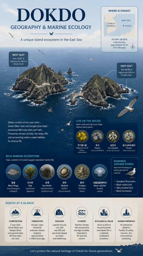
Create educational posters that explain Dokdo geography and marine ecology through visual evidence and concise text.
2026.07.15
Make “Dokdo Poster” exactly the way you wantCreate your own “Dokdo Poster”
Just ask in plain language — Carat generates optimized images and videos for you.

Start now with 100 free credits daily
독도 포스터
What Is a Dokdo Poster AI Prompt?
Create educational posters that explain Dokdo geography and marine ecology through visual evidence and concise text. A useful prompt defines the main silhouette, expression or material, spacing, and background instead of naming the subject alone. These instructions give the image model a stable visual target and produce an asset that is easier to reuse.
Designing the Visual Language
Combining East and West islets, a location map, seabirds, and marine life supports balanced learning about geography and natural heritage. Sticker-style assets benefit from one focal subject, clean edges, restrained color, and enough negative space. Check the result at thumbnail size because fine details that look attractive at full resolution may disappear in chat or mobile interfaces.
Practical Uses
This format works for school lessons, environmental education, geography presentations, museum displays, and public campaigns. Keep the core proportions and rendering rules fixed when building a set, then vary expression, accent color, or surface treatment. This method creates variety without losing visual consistency across channels.
Prompt Construction Tips
Use verifiable geographic and ecological facts, reserve room for map legends and sources, and prioritize island forms over decoration. Describe lighting direction, surface texture, viewing angle, and background color with concrete terms. Avoid mixing conflicting art styles. After the first generation, lock the successful geometry and adjust only one variable at a time so you can identify what improved the result.
Related Prompt Ideas
Use neighboring themes to plan a coordinated asset family while keeping this topic visually distinct. Review the final image at its actual display size, confirm that the silhouette and focal detail survive reduction, and regenerate with wider padding or softer reflections if edges or highlights become distracting.