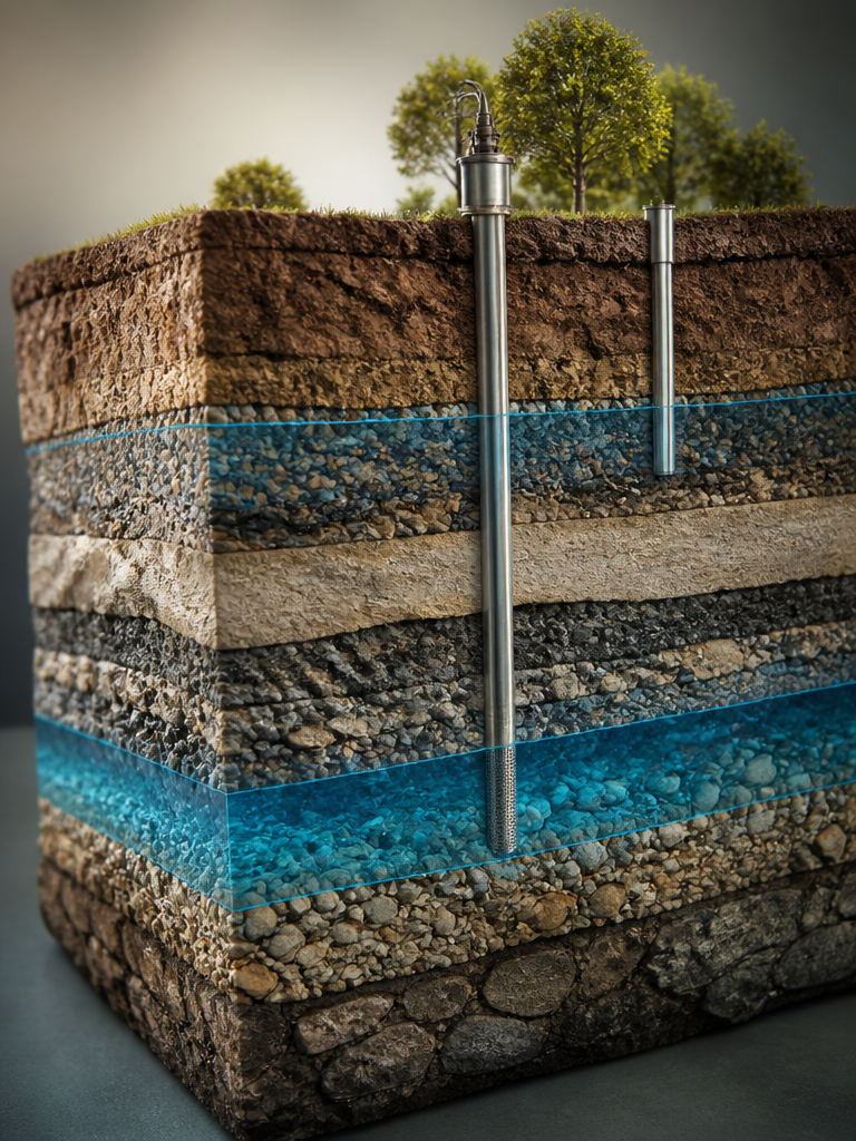
Earth Science Illustration
A collection of earth science illustration prompts visualizing natural landforms and geological structures such as volcanoes, glaciers, canyons, caves, and wetlands.
2026.07.07
Make “Earth Science Illustration” exactly the way you wantCreate your own “Earth Science Illustration”
Just ask in plain language — Carat generates optimized images and videos for you.

Start now with 100 free credits daily

시골풍경 일러스트

호박 일러스트
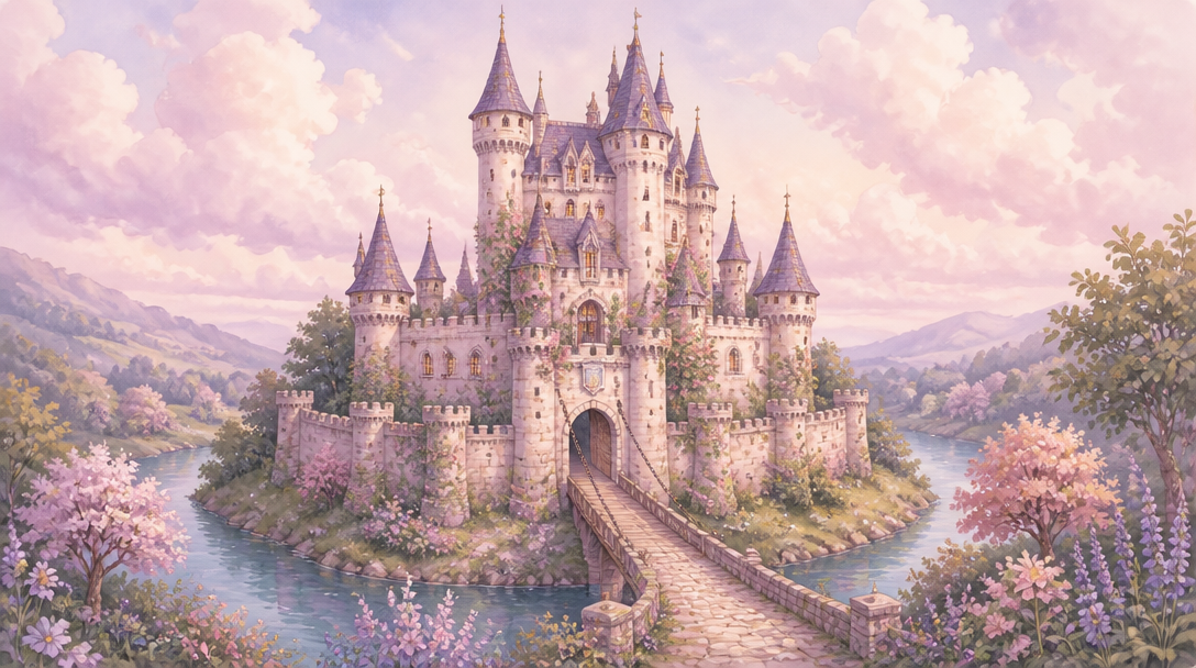
성 일러스트
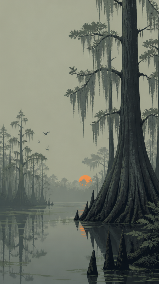
늪 일러스트
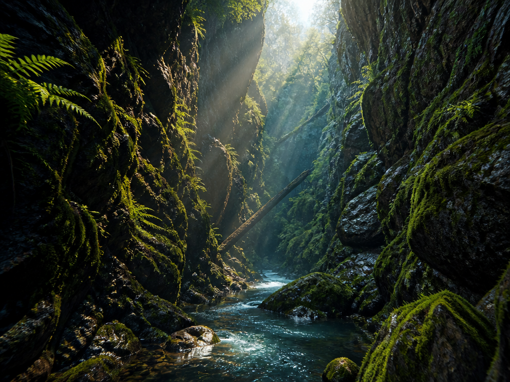
계곡 일러스트

사구 일러스트
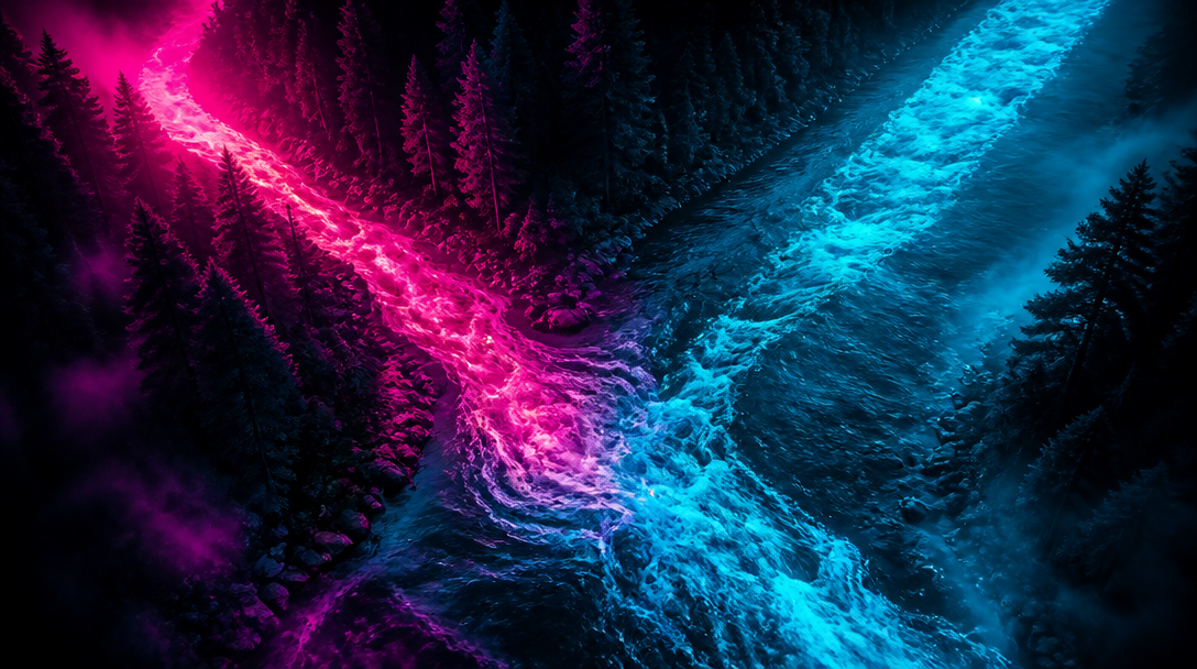
지류 일러스트
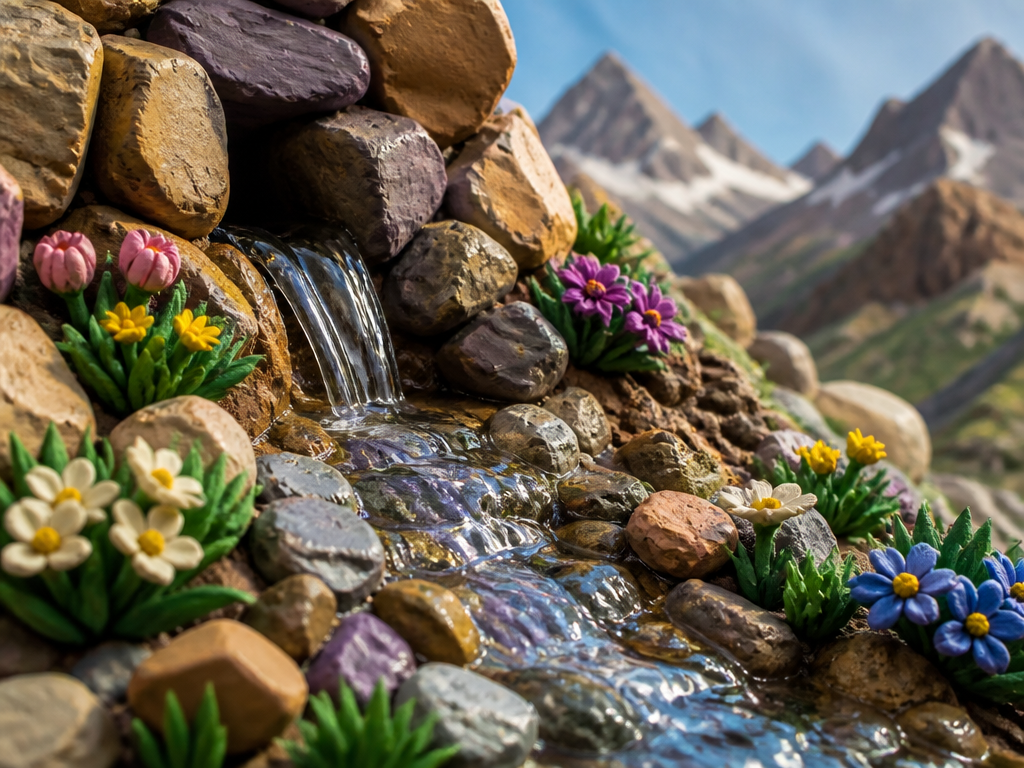
발원지 일러스트

공복석 일러스트
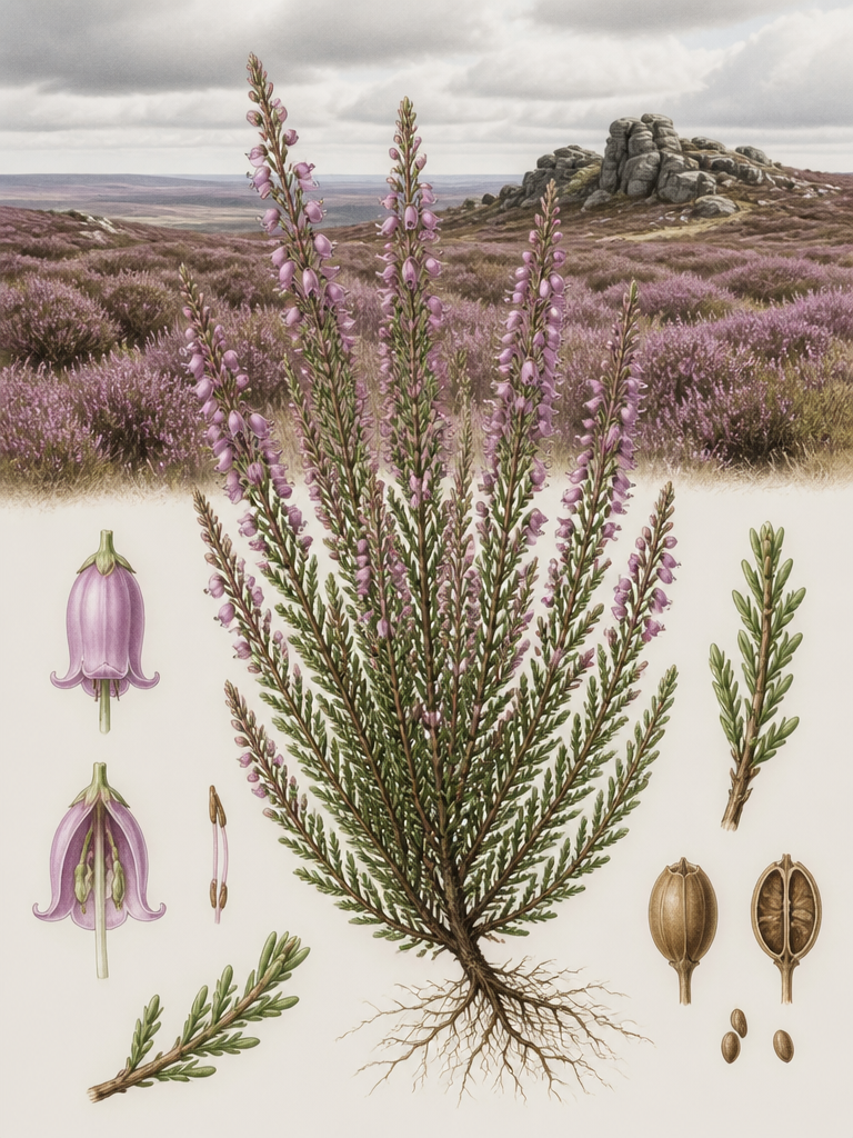
황야 일러스트
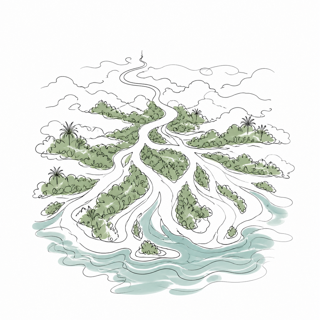
삼각주 일러스트
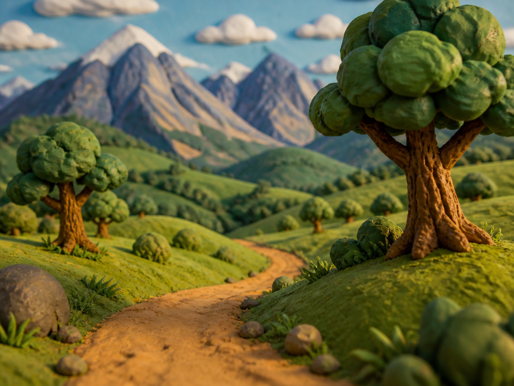
구릉 일러스트
What Is Earth Science Illustration?
Earth science illustration is a specialized form of visual art that depicts natural landforms, geological structures, and Earth's diverse biomes. From erupting volcanoes and flowing glaciers to deep canyons, underground caves, vast wetlands, frozen tundra, and vibrant coral reefs, these illustrations translate complex geological and ecological concepts into accessible imagery. They serve as essential tools for education, museum exhibits, environmental reports, and science communication.
What Subjects Are Covered?
The collection spans the full spectrum of Earth's surface features. Volcanic formations including calderas, lava flows, and geysers appear alongside glacial features like icebergs, crevasses, and fjords. Fluvial and coastal landforms such as rivers, deltas, estuaries, bays, peninsulas, archipelagos, and atolls are well represented. Arid landscapes feature deserts, dunes, mesas, badlands, and oases, while wetland ecosystems include swamps, marshes, bogs, muskegs, and mangrove forests. Biological biomes like taiga, tundra, steppe, prairie, savanna, and rainforest illustrate the diversity of life zones. Atmospheric phenomena such as auroras and seasonal elements like snowflakes, cherry blossoms, and autumn foliage add visual variety. Human-built features including windmills, harbors, castles, cabins, and piers provide cultural context within natural landscapes.
Where Are These Illustrations Used?
Earth science illustrations are widely used in middle and high school geology and geography textbooks, natural history museum exhibit panels, national park interpretive signs, environmental impact assessment reports, climate change campaign posters, geopark promotional materials, children's science picture books, and documentary reference visuals. They are also valuable for ecological education, environmental awareness campaigns, and ecotourism marketing materials.
Tips for Writing Effective Prompts
Combine specific landform names with style keywords for best results. For example, write "volcanic eruption scene, watercolor style, emphasizing lava flow" for a painterly volcanic illustration. If you need a cross-sectional diagram, specify "geological stratum cross-section, educational diagram style, with labels" to get a clear instructional illustration. When depicting biomes, include ecological characteristics such as "boundary between taiga and tundra, showing vegetation transition" for scientific accuracy. For color palettes, base your choices on the actual colors of natural landforms, but consider using pastel tones for educational diagrams to improve readability. Adding seasonal modifiers like "autumn foliage" or "winter snow scene" can dramatically change the mood and context of the illustration.
Explore Recommended Prompts
Browse the collection below to discover illustration prompts featuring volcanoes, glaciers, canyons, caves, auroras, waterfalls, and other breathtaking landforms of our planet. From educational diagrams to evocative landscape art, these prompts offer a visual journey through Earth science.